
Coastal Region
where it ALL begins… at the end of the KVR line.

 Many of us drive by at 100 Km/h and totally miss it! This gateway destination is located at the confluence of the Coquihalla and Fraser rivers and is just a 90 minute drive east of Vancouver.
Hope has some of the finest outdoor adventure opportunities in the region and a population of just 7,000.  Hells Gate, Kawkawa Lake, Othello Tunnels, Coquihalla Canyon Provincial Park, Hope Golf Club, Coquihalla Campground, Hope Valley RV and Campground, Wild Rose Campground, and Fishing Charters.
Highway 1 – Fraser Canyon

Part of the Trans Canada Highway 1, the Fraser Canyon heads north from Hope following the Fraser River toward Lytton, BC. This scenic route is full of twists and turns as it follows the cut of the mighty Fraser River. Built in the late 60’s, the highway can be narrow, but the views are magnificent. Check the road conditions at www.drivebc.ca before your next trip.
Highway 5 – Coquihalla Highway

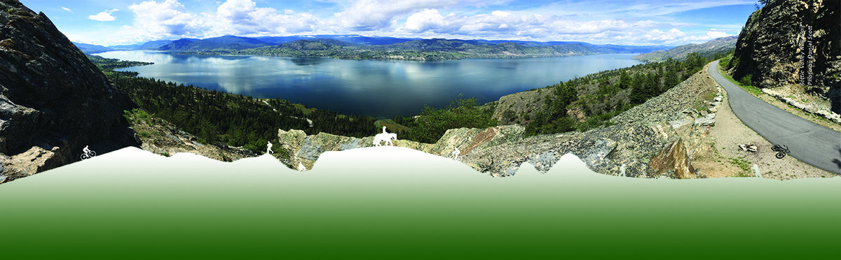
The Coquihalla Highway was built in the late 80’s and early 90’s and connects the lower mainland with interior cities such as Merritt, Kamloops, and Kelowna. The 4 lane highway winds through a high mountain pass where the Coquihalla Summit reaches an elevation of 1,244 m (4,081 ft). Beautiful views of Coastal Mountain peaks are inspiring as you pass frequent avalanche terrain. Check the road conditions at www.drivebc.ca before your next trip.
Highway 3 – Crowsnest Highway

The southern route through the province, this highway has gone through some major overhauls in the past few years. Climb west out of Hope, past the Hope Slide toward Manning Park and Princeton. You will notice on the map below that there are options to connects back on Highway 5A to Highway 5 (Coquihalla Highway). Check the road conditions at www.drivebc.ca before your next trip.
 Weather Forecast